1
/
of
1
Museum of Danish America
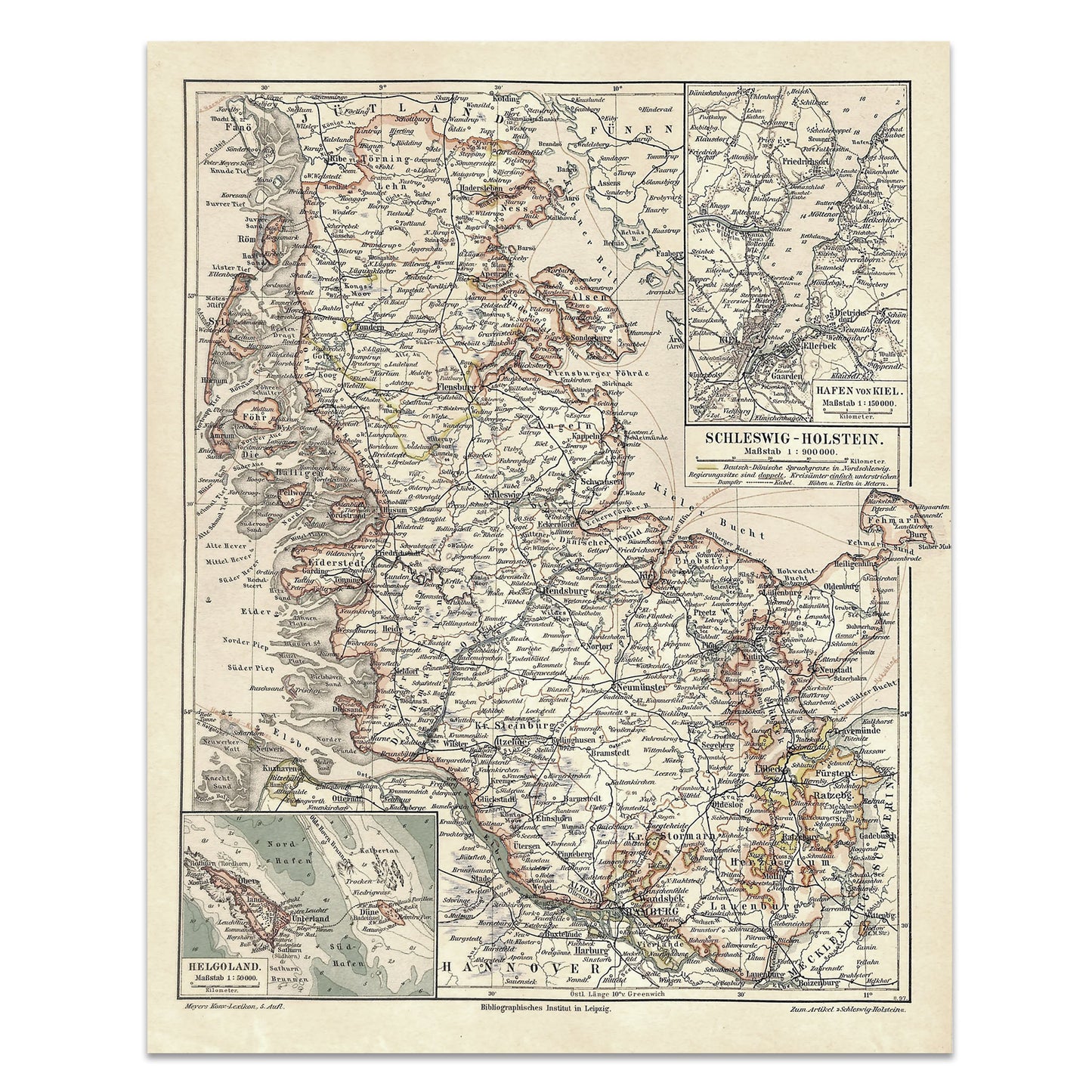
Map of Schleswig-Holstein 1897
Map of Schleswig-Holstein 1897
Regular price
$15.00
Regular price
Sale price
$15.00
Unit price
/
per
Couldn't load pickup availability
Antique chromolithographic map showing the Schleswig-Holstein region of Germany. This map was originally printed by Hermann Julius Meyer in Leipzig in 1897. Map measures 9.75 x 12 inches.
Share